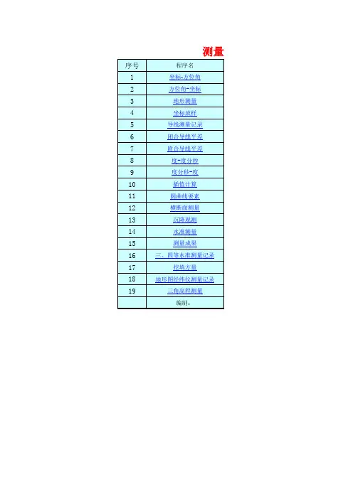
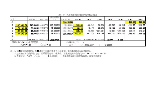
excel_闭合导线自动计算4个点
- 格式:xls
- 大小:33.50 KB
- 文档页数:1


应用Excel和Section实现实测地质剖面批量成图陈海飞,王 旗,吴海峰,洪 涛,方 涛,曾 成,王日平(江西省核工业地质局二六四大队,江西 赣州 341000)摘 要:应用Microsoft Excel软件编程,将实测地质剖面导线、分层信息数据化,利用Section投图,整饰为Mapgis图件。
通过本程序可以实现实测地质剖面批量成图,做到数据准确、易于维护,大大提供工作效率。
关键词:实测剖面;批量成图中图分类号:P623 文献标识码:A 文章编号:1002-5065(2021)02-0208-3Application of Excel and section in batch mapping of measured geological sectionsCHEN Hai-fei, WANG Qi, WU Hai-feng, HONG Tao, FANG Tao, ZENG Cheng, WANG Ri-ping (264 brigade of Jiangxi Nuclear Industry Geological Bureau,Ganzhou 341000,China)Abstract: Using Microsoft Excel software programming, the measured geological section traverse and layered information are digitized, and the section mapping is used to decorate the MAPGIS map. Through this program, we can realize the batch mapping of measured geological sections, make the data accurate, easy to maintain, and greatly provide work efficiency.Keywords: measured section; batch mapping1 设计目的与思路实测地质剖面作为地质工作中常用和必要手段,剖面成图涉及大量的数据换算和图表绘制,如何批量处理原始数据,提取成果数据绘制图件,同时保证数据准确、过程高效、易于维护,是本文思考的问题。